You take care of us, we take care of you
Best outdoor maps and official topo-maps offline
BuddyBeacon to visualize the GPS location of your team members
Best outdoor maps and official topo-maps offline
Slope gradient map layer and up-to-date avalanche reports
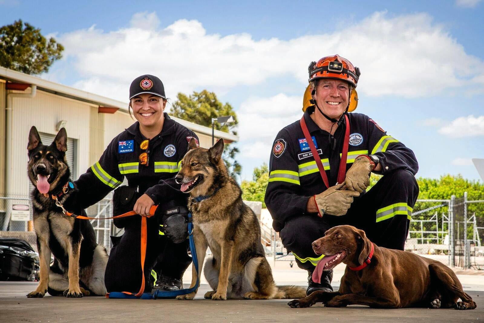
A real matter of heart for us
We are very proud to support organizations that specialize in mountain rescue, personal search, cave rescue, lowland search and rescue and much more. For this indispensable, daily and mostly voluntary work we want to say THANK YOU!
A real matter of heart for us
We are very proud to support organizations that specialize in mountain rescue, personal search, cave rescue, lowland search and rescue and much more. For this indispensable, daily and mostly voluntary work we want to say THANK YOU!


How to get started
- Sign up for free as an official search and rescue team
- After we confirm your application, you get full administrative access
- Get your team ready with 15 free Pro licenses, further licenses can be requested
- You get visibility and presence of your search and rescue team on our worldwide platform
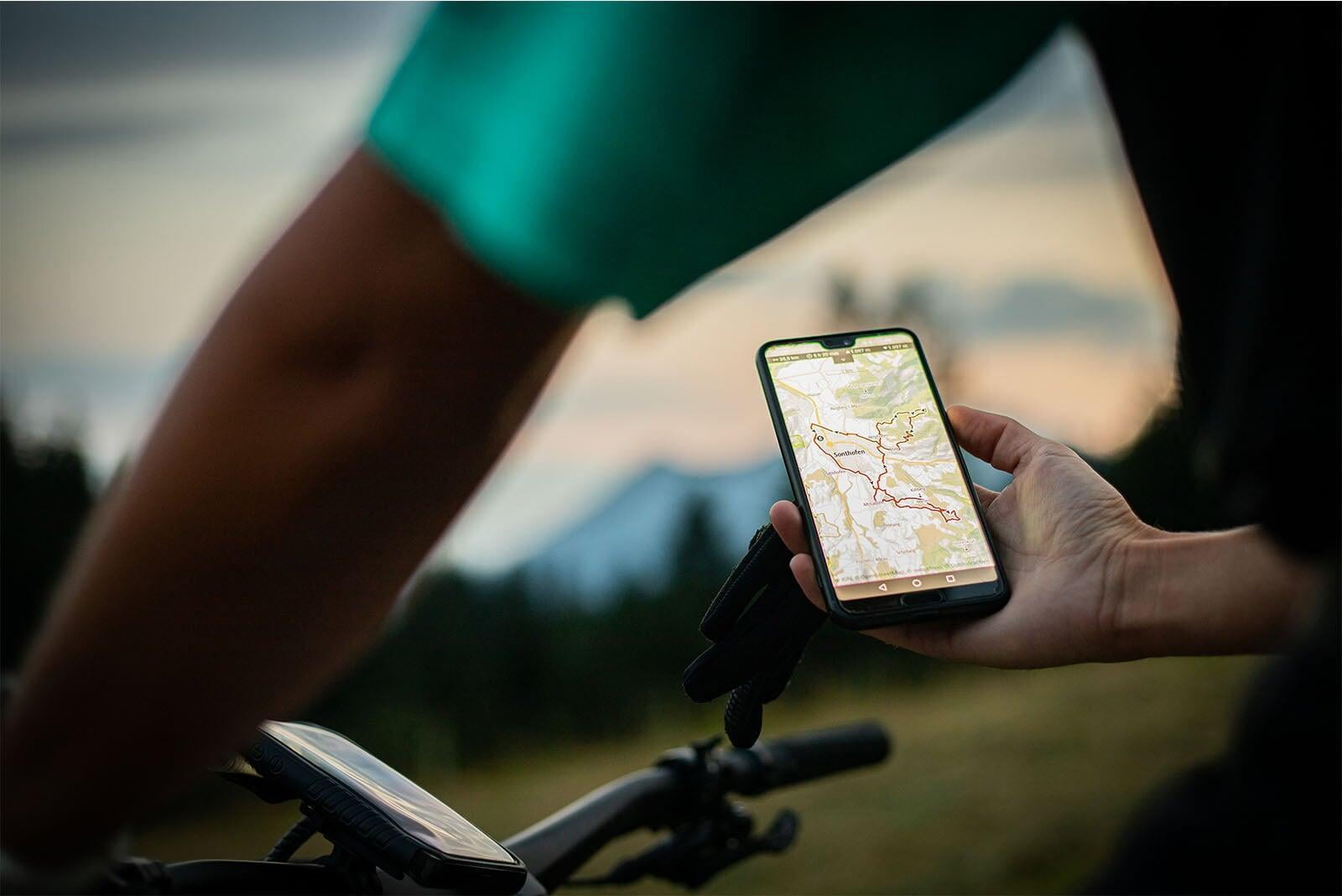

Teams we proudly support



What the teams say about us

"The DRK Bergwacht Geislingen-Wiesensteig uses Outdooractive's SAR service because it provides us with high-quality map material for mission control at all times, and the use of BuddyBeacon gives us an overview of the location of our vehicles and task forces at all times."
- Andreas Nuding, Bergwacht Geislingen-Wiesensteig

