Connect directly with trail users
Your main benefits
Safety Features & Visitor Management
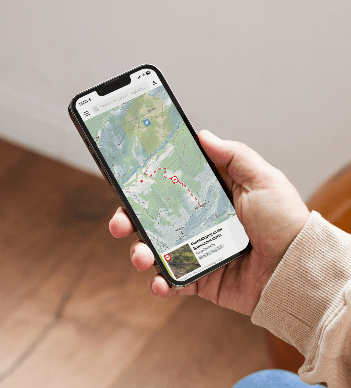
Communicate hazards and closures in real time to all users - On the map and all route detail pages. Directly viewable by the smartphone user.
White-Label Website
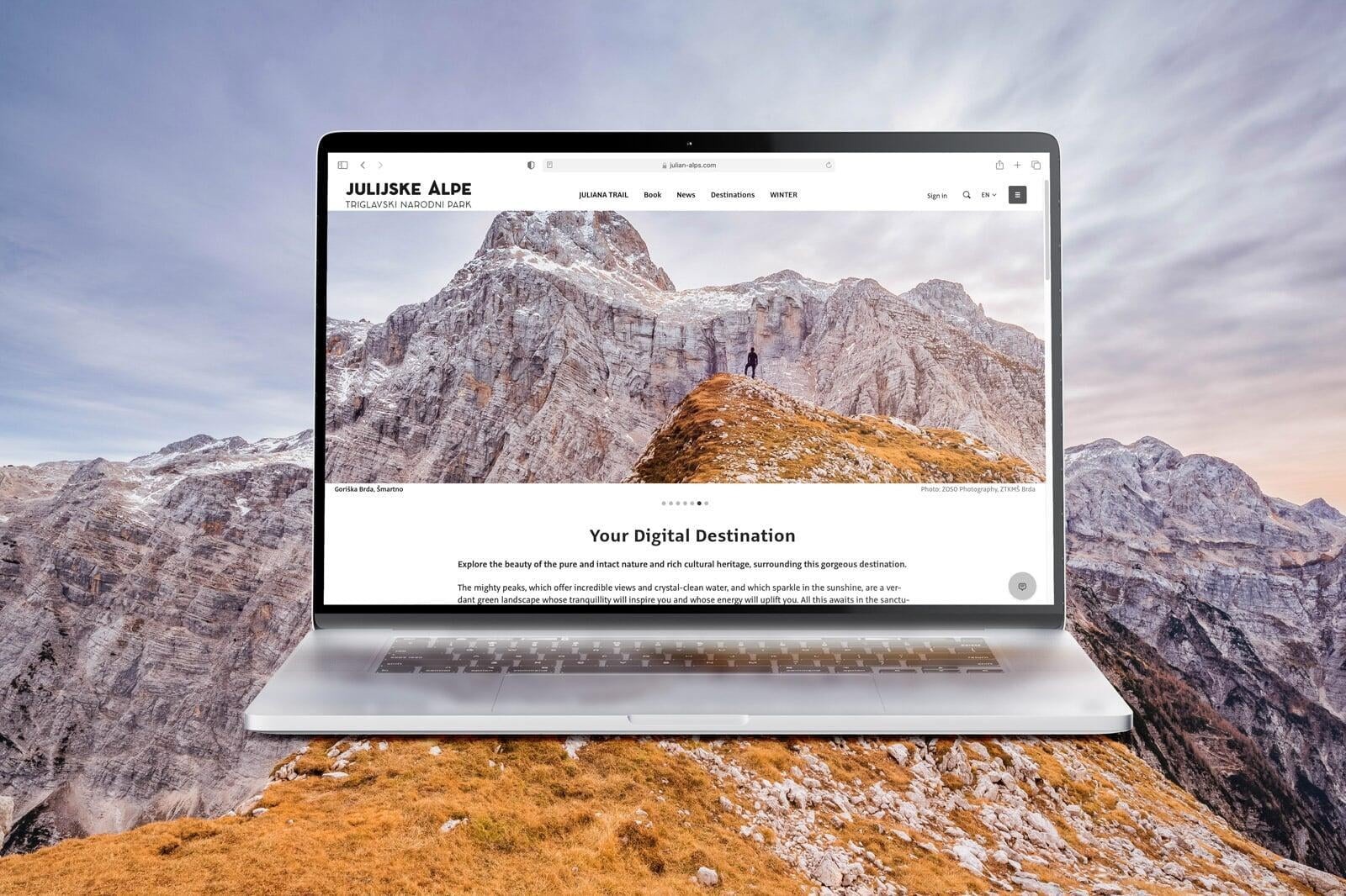
The White-Label Website integrates the Community functionality of the Outdooractive platform. Communication with registered members takes place on behalf of the website's brand (thus creating a 'branded' Community).
The White-Label Website develops as a part of the platform. Weekly updates are done to ensure our software is matching the needs of the users in a State of the Art way. While our customers can focus on their content and customer engagement, we take care of the rest.
All our software is optimized and mirrored for full mobile use, including all branding.
White-Label App
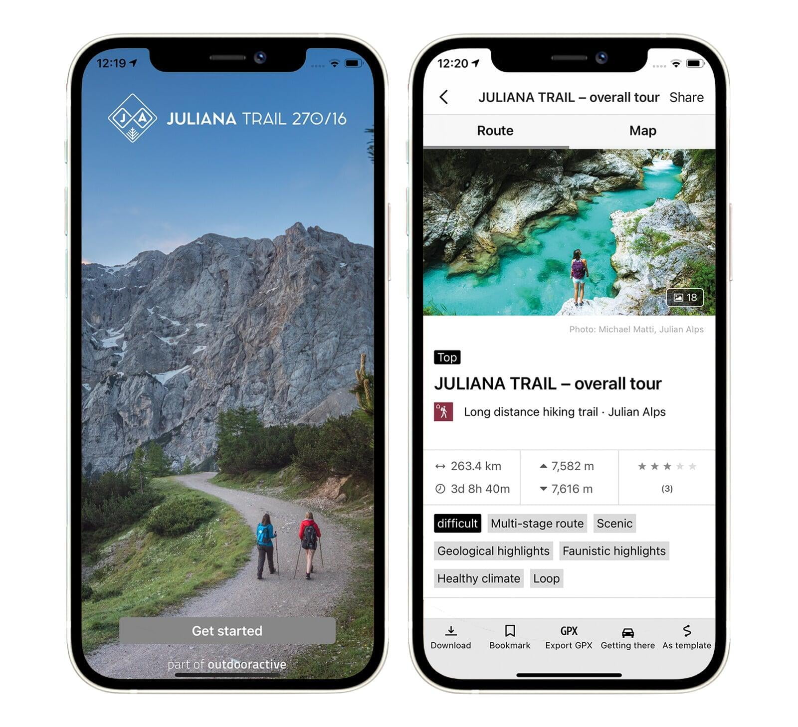
Outdooractive has developed the white-label app to be as analogous to the web platform as possible, both in terms of structure and features.
As with the white-label website, the white-label app is also branded by the customer, mirrors all content, and seamlessly integrates the , mirrors all content, and seamlessly integrates the community.
Outdooractive My Business App
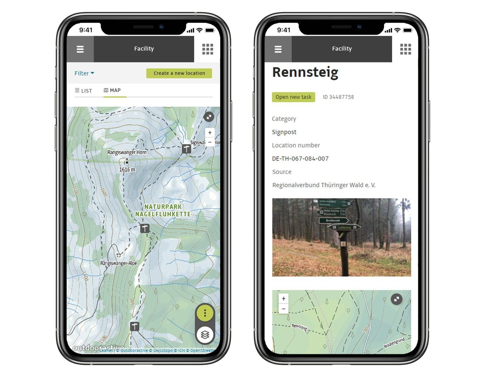
Our Outdooractive My Business allows you to easily enter and manage complex outdoor and tourism content. You can edit and maintain your routes including the course on the map, texts, images or POIs in our web-based system.With the My Business app, you can edit your content and manage trails using a mobile device. The recording of data can be done comfortably on site, pictures can be entered directly with the smartphone and the course of routes can be taken over by means of track recording or routing function.
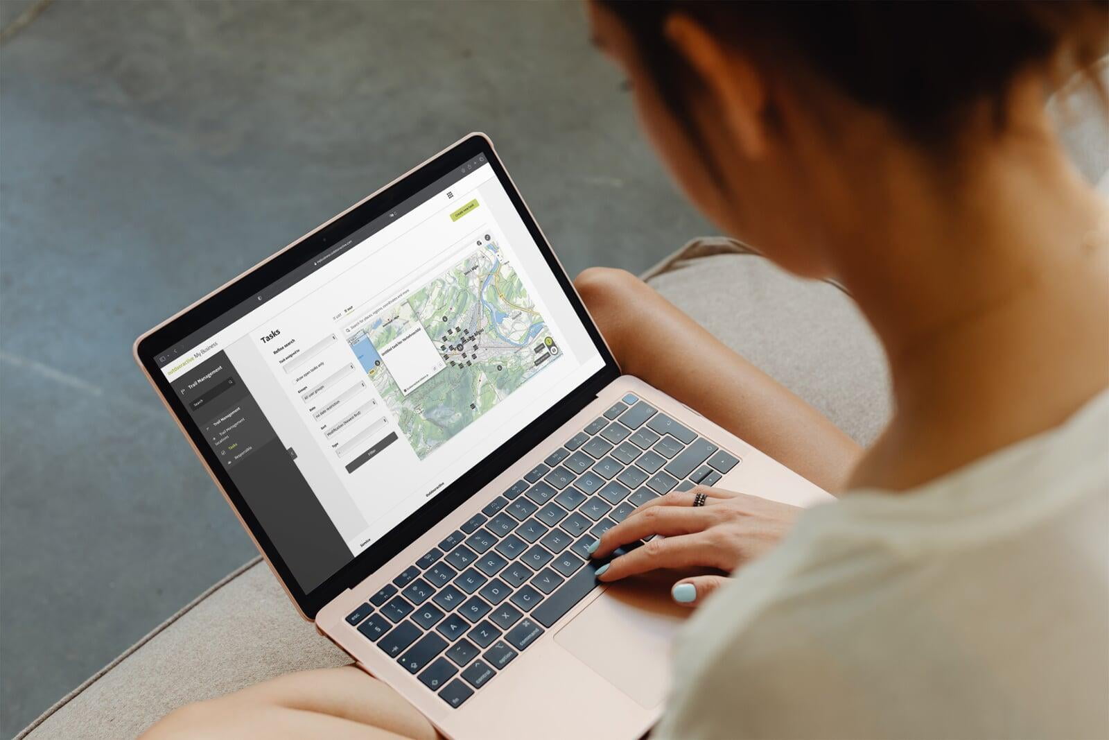
Digitization and management of the entire infrastructure
Current trail conditions (e.g., rest benches, railings) can be managed offline with the business app. Inspection routes are documented and defects are recorded. A ticket system allows tasks to be assigned, processed and documented.
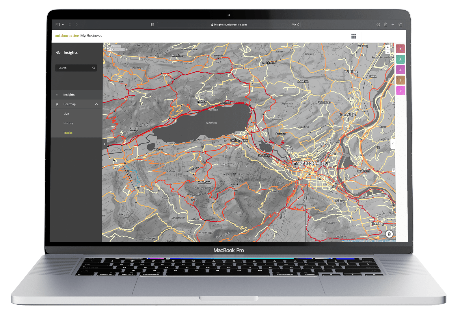
Up-to-date measurement of trail usage
Trail managers can view the data in Analytics. The daily usage is displayed on the track heatmap as well as dashboards.
The Trail Responsibility Map
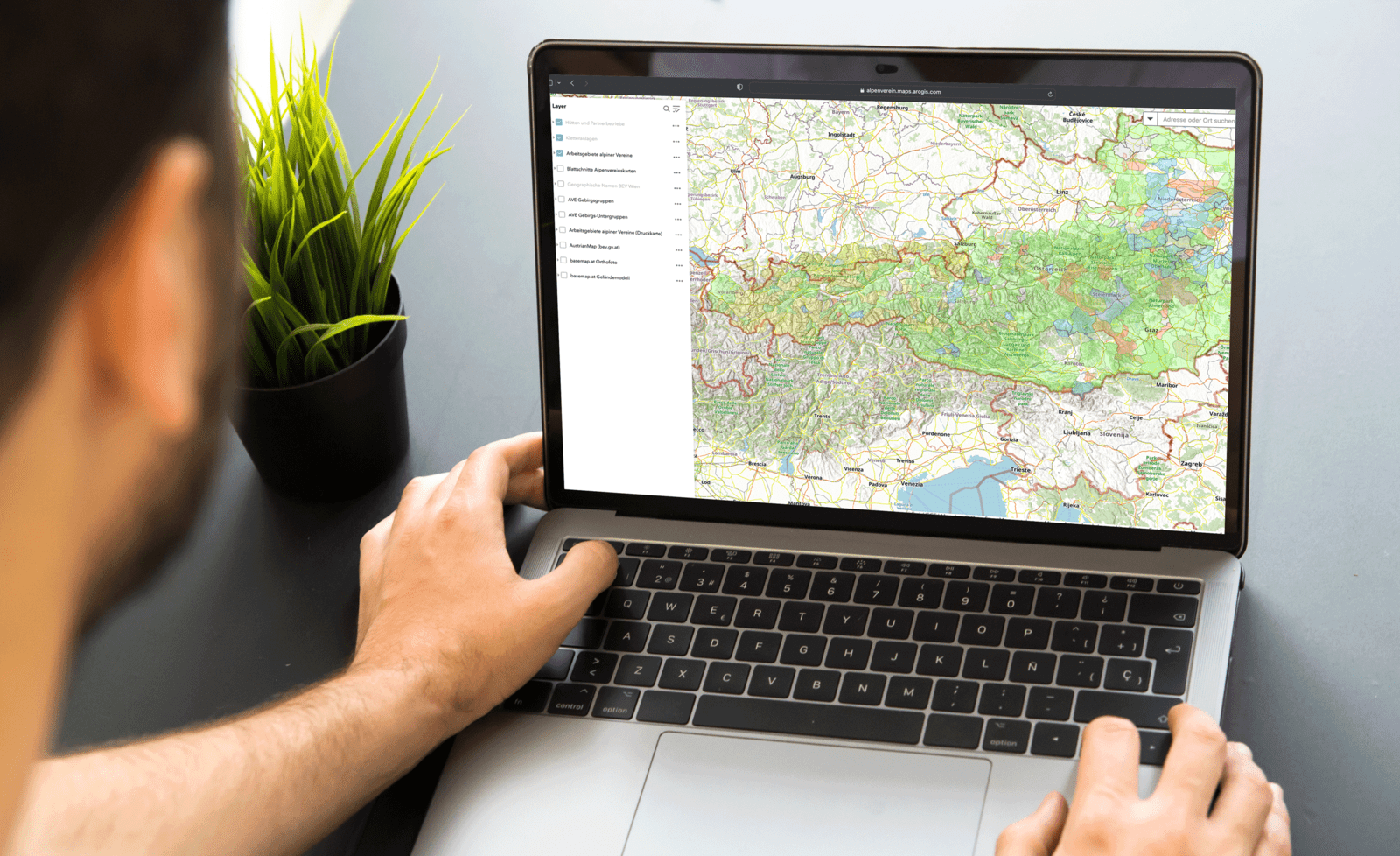
With the Trail Responsibility Map, we store trail responsibilities on the entire platform with all 2,500 front ends. This information is inherited on the trail network including route planning and all routes. Thus, all news, deficiencies and comments reach the trail managers. Crowdsourcing of all current conditions is ensured by the large community with more than 60 million users on all brand channels.
What trail managers say about us

"The Alpbachtal as a tourism region of more than 350km² spread across 10 districts. We use the Outdooractive Trail Manager tool, which supports us best in carrying out daily maintenance. It also simplifies planning as well as the ongoing revision of the more than 2,600 separate infrastructure locations that we currently have in the system."
- Manuel Hufnagel, Head of Infrastructure, Alpbachtal Tourism
Associations we proudly support



Good to know
